Accueil | Festival Photo | Utile | Messages | Plan | Liens amis | Topo Pyrénées |  |
|  |
|  | Lettre d'info | Navigation par carte | Les gpx | Les Photos | Les Topos | Top du site |
D'autres Photos
Toutes les photos
Chemin de Compostelle
Le Puy en Velay - Roncevaux
Le Puy - St PrivatSt Privat - Saugues
Saugues - Le Sauvage
Le Sauvage - Les Estrets
Les Estrets - Les 4 Chemins
Les Gentianes - Aubrac
Aubrac - St Come d'Olt
St Come d'Olt - Estaing
Estaing - Espeyrac
Espeyrac - Noailhac
Noailhac - Livignac le Haut
Livinhac le Haut - Figeac
Figeac - Corn
Corn - Marcilhac sur Célé
Marcilhac sur Célé - Cabrerets
Cabrerets - Pasturat
Pasturat - Cahors
Cahors - Lascabanes
Lascabanes - Montlauzun
Montlauzun - St Martin
St Martin - Bouillan
Bouillan - St Antoine
St Antoine - Lectoure
Lectoure - La Romieu
La Romieu - Larressingle
Larressingle - Escoubet
Escoubet - Nogaro
Nogaro - Barcelonne du Gers
Barcelonne du Gers - Miramont Sensacq
Miramont Sensacq - Arzacq Arraziguet
Arzacq Arraziguet - Pomps
Pomps - Sauvelade
Sauvelade - Lichos
Lichos - Uhart Mixe
Uhart Mixe - St Jean le Vieux
St Jean le Vieux - Orisson
Orisson - Roncevaux
Conques - Toulouse
Conques - CransacCransac - Peyrusse le Roc
Peyrusse le Roc - Villefranche de Rouergue
Villefranche de Rouergue - Najac
Gaillac - Rabastens
Rabastens - Montastruc la Conseillère
Montastruc le Conseillère - Toulouse
Ariège
Sarrat des Auzels - Pierre de RolandPrat Moll
Le Jasse de Beille d'en Haut
Balade vers Montgaillard
Les dolmens de Cérizols
La Pique d'Endron
Laparan - Fontargenta - Estagnol - Ruille
Roc de Cos - Pic de l'Aspre
Le Roc de la Courgue
Le Pech de Foix
Le Cap de Cambiere
Cap de la Coume - Coulassou
La Dent d'Orlu
Le Pic de Cabanatous
St Sauveur - Le Pech
Roc de Caralp - Le Pech
Le Lac de Mondely
Pech de Therme - Sarrat de la Pelade - Rocher Batail
Pic d'Estibat - Sommet des Griets
Le Pic des Trois Seigneurs
Le Pic de Girantes
Les Dolmens du Mas d'Azil
Roc de la Lauzade - Roc Marot
Le Pic de la Lauzate
Pic de Tarbésou - Pic de la Coumeille de l Ours
Le Tuc de Montcalibert
St Girons Antichan - Bonrepaux en Ballon
Le Mont Valier
Pic du Montcalm - Pic d'Estats - Pic Verdaguer
Le refuge de l'Etang du Pinet
Les cascades d'Ars
Le Planel
Le Cap du Carmil
Pic de Tarbezou
Orri de Sauvegarde
Lac Mts d Olmes
Pic du Han
Montsegur
Lac Montbel
Aude
Le Pointe de la GrèveLe PC du Maquis de Picaussel
Roc de l'Aigle - Gouffre de Cabrespine
Port de Castelnaudary - Ecluse de la Peyruque
Ecluse de la Méditerranée - Port de Castelnaudary
Ecluse de l'Océan - Ecluse de la Méditerranée
Autour de St Michel de Lanès
Le Trapadous en boucle
Autour de Puivert
Une balade vers St Gaudéric
Une balade vers Chalabre
St Papoul - Verdun en Lauragais en boucle
En forêt de Ramondens
La prise d'eau de l'Alzeau
Une visite de et autour de Montolieu
Autour de Malouziès
Le belvédère de Lastours
La Vigie de la Clape
La Chapelle des Auzils
Les Salins de Gruissan 2
La Combe des Couleuvres
La Garrigue de St Pierre
Les Salins de Gruissan 1
Belvédère de Gruissan
Gibalaux
ND du Cros
Pic de Nore
Etang du Doul
Garrigue des Monges
Etang de Mateille
Plage du Grazel
Bords de l'Orbieu
ND du Carla
St Auriol - Lagrasse
Lastours
Oeil doux
Pech Redon
Combe de Lavit
Ile St Martin
Signal Alaric
Clape
Etang de Gruissan
Grau de Grazel 2
Ganguise
Borde Neuve-La Plancuille
Naurouze-La Belle Etoile
Las Tinas
La Crouzade
Grau de Grazel
Capoulade
Ile St Martin
Chauchole
Aveyron
Igue et dolmens autour de MarrouleVillefranche de Rouergue - Najac
Peyrusse le Roc - Villefranche de Rouergue
Cransac - Peyrusse le Roc
Conques - Cransac
Une balade à Conques
Livinhac le Haut - Figeac
Noailhac-Livinhac
Espeyrac - Noailhac
Estaing - Espeyrac
St Come d Olt - Estaing
Aubrac - St Come d Olt
Charente Maritime
St Martin de Ré - La RochelleUn tour à St Martin de Ré
La Rochelle - Bourgenay
Dordogne
VialardFinistère
Bénodet - Port TudyIle de St Nicolas - Bénodet
Le tour de l'Ile St Nicolas au Glénan
Concarneau - Ile de St Nicolas
Port Tudy - Concarneau
Haute Garonne
St Bertrand de Comminges - MontréjeauMontréjeau - St Bertrand de Comminges
Pont de Balma - Montaudran
Autour de Lagrace Dieu
Ô Toulouse
Le Parc de la Plaine
Balade au bord de la Sausse
Sommet de Pouy Louby - Pic du Lion
Coume de Herrere - Honteyde - Cap de la Lit
Autour de St Caprais
Un tour sur les Coteaux de Pech David
Sommet d'Anténac
Cap de la Pique
Villemur sur Tarn - Bondigoux en boucle
Les cromlechs du Mail de Soupène
La Chapelle St Jean - Montréjeau (GR86)
Métro UPS - Castanet Tolosan
Le Cuing - La Chapelle St Jean (GR86)
Escoubeillan - Le Cuing (GR86)
Sarremezan - Escoubeillan (GR86)
Le tour du lac de Flourens
Montastruc la Conseillère - Toulouse
Le tour de Balma par les chemins
Autour de Paulhac
Saussens - St Anatoly en boucle
Fourquevaux - Labastide Beauvoir en boucle
Toulouse, journée du Patrimoine
Le Pic de Céciré
Autour de Montesquieu Lauragais
Houéganac - Sarremezan (GR86)
Ciadoux - Houéganac (GR86)
Autour de Donneville
Auzielle - Preserville en boucle
Moscou - Montaudran - Lasbordes
Autour de Montgiscard
St Marcel Paulel- Gragnague
L'Hospice de France
Cornebarrieu - Pibrac (GR86-GR653)
Pirolle - Ciadoux (GR86)
Salleneuve - Pirolle (GR86)
Vallée de l'Hers - Vallée de la Saune
Perron - Salleneuve (GR86)
La Carretère - Perron (GR86)
Le Grand Bois
Fabas - La Carretère (GR86)
Polastron - Fabas (GR86)
Pouy de Touges - Polastron (GR86)
Le Pic de Bacanère
Lautignac - Pouy de Touges (GR86)
L'étang de l'Orme Blanc
Rieumes - Lautignac (GR86)
La Rédaou - Rieumes (GR86)
Peguillan - La Rédaou (GR86)
En Pouillac - Peguillan (GR86)
Les Graouats - En Pouillac (GR86)
Lias - Les Graouats (GR86)
Pic de Cagire
Tuc de l'Etang et Pic d'Escales
Bouconne
Spijeoles
Granges d'Astau - Refuge d'Espingo
Nailloux - Lac de la Tésauque
Ste Foy d'Aigrefeuille
Quint
Fonsegrives
Bois de Buzet
Clermont le Fort
Sommet du Tech
Lac de la Balerme
Mont Né (Vallée d'Oueil)
Lacroix Falgarde - Goyrans
Ecluse de Vic-Pont de Deyme
Lac du Laragou
Bouconne
Verfeil
Balma
Lac St Sernin
Flourens
Mervilla - Rebigue
Pechbusque - Mervilla
Prairie des Filtres-Pont Blagnac
Mandoul-St Féréol
Engranou-Mandoul
La Placuille-Engranou
En Cassan-Obélisque de Riquet
Ecluse de Laval-En Cassan
Ecluse du Sanglier-Ecluse de Laval
Donneville-Ecluse du Sanglier
Ecluse de Vic-Donneville
Port Sud-Lautard
Chateau de l'Hers-Balma
Chateau de l'Hers-Ecluse de Vic 2
Chateau de l'Hers-Ecluse de Vic
Lac Labege
Gers
Autour de GimontUn tour à Auch
Nogaro - Barcelonne du Gers
Escoubet - Nogaro
Larressingle - Escoubet
La Romieu - Larressingle
Un tour à Boulaur
Tellere - Lias (GR86)
Lectoure - La Romieu
St Antoine - Lectoure
Tour du lac de la Gimone
Hérault
Olargues - La Trivalle - St Pons de ThomièresLes Gorges d'Héric
Haut - Olargues
Un tour à Villelongue
L'étang de Montady
L'abbaye de Fontcaude
Minerve
Haute Loire
St Privat - SauguesLe Puy - St Privat
Landes
Miramont Sensacq - Arzacq ArraziguetBarcelonne du Gers - Miramont Sensacq
Lac Hossegor
Foret Hossegor
Lac Hossegor
Lot
Les domens autour de VaraireLes dolmens de Laramière
Une balade autour de Lalbenque
Gariottes et dolmens autour de Limogne en Quercy
Gariottes et dolmens autour de Varaire
Dolmen et Igues dans la forêt de la Braunhie
Les Igues d'Aujols
Les dolmens autour de St Hilaire
Les dolmens de Prayssac
St Sulpice - Anglanat (Canoé)
La ronde des Dolmens (Marcilhac sur Célé)
Lascabanes - Montlauzun
Cahors - Lascabanes
Pasturat - Cahors
Cabrerets - Pasturat
Marcilhac sur Célé - Cabrerets
Corn - Marcilhac sur Célé
Figeac - Corn
Pinsac-Souillac
Gorges de l'Alzou
Lozère
Les Gentianes-AubracLes Estrets - Les 4 Chemins
Saugues - Le Sauvage
Nimes le Vieux
Gorges du Tarn
Le Mont Aigoual
Morbihan
Lorient - Ile de GroixPort Tudy - Lorient
Lorient 2012, j'y étais!
Port du Crouesty - Port Tudy
Un tour à Port Lay
Le Palais - Ile d'Houat
Ile d'Houat - Port du Crouesty
Lorient - Le Palais
Une balade au Palais
Port Tudy - Lorient
Port Tudy - Pointe du Spernec en boucle
Port Tudy - Port Lay en boucle
Port Haliguen - Port Tudy
Ile d'Arz - Port Haliguen
Ile d'Houat - Ile d'Arz
Lorient - Ile d'Houat
Nord
Le tour de la Citadelle Vauban de LillePyrénées Atlantiques
MandaleLa Pointe de Ste Barbe
Les Cromlechs du Sommet d'Occabé
Orisson - Roncevaux
Le Pic d'Orisson
St Jean le Vieux - Orisson
Uhart Mixe - St Jean le Vieux
Lichos - Uhart Mixe
Sauvelade - Lichos
Pomps - Sauvelade
Arzacq Arraziguet - Pomps
Le Soum de Grum
Hautes Pyrénées
Soum de la Péne (antécime)Les cascades du Bernet
Le Pic de Tentes
Pic de Mont Aspet - Pic de Belloc - Pic de Douly - Pic du Plat de Tignas
Le Cap de Pène Rouye
Le Soum Blanc des Espécières
Le Grand Barbat
Refuge Wallon - Pont d'Espagne
Lacs de Cambalès - Lacs d'Opale
Refuge des Oulettes de Gaube - Refuge Wallon
Le Petit Vignemale (versant Gaube)
Pont d'Espagne - Refuge des Oulettes de Gaube
Sanctus - Pic de Louesque - Grand Gabizos
Bivouac sur les hauteurs de Gavarnie - La Tour du Marboré
Bivouac sur les hauteurs de Gavarnie - Le Taillon
Le Pic de Lary
Crête de Serre - Cap d'Aout
Le Col de Tentes en raquette
Arrens - Marsous - Aucun
La cabane de Bouleste
Le Pic de Nerbiou
Soum d'Andorre - Soum de Conques
Le Sommet de l'Aigle
Le Pic de Montaigu
Le Pic de Madaméte
Le Courouaou
Le Pichaley
Le Pic de Batboucou
Le Lac d'Ausseilla
Autour de la Chapelle de Pouey Laun
La cabane de Doumblas
Le Lac de Gaube
Le Tuc de Labatiadère
La Raillère - Pont d'Espagne
Pene de Caucipeyre - Hautacam - Soum de Tramassel
Le Soum de Leiz
Le Tuc du Picou
Pic de Bazes - Pic de Navaillo
Le Pic de Lustou
Refuge des Espuguettes - Gavarnie
Piméné - Petit Piméné
Gavarnie - Refuge des Espuguettes
Le Pic de l'Arcoèche
La Tour du Marboré
Tentative au Pic de Lustou
Soum de Granquet - Soum de las Escures
Les Lacs inférieurs de Batcrabère
Couret - Couraduque - Serre - Bazès
Le tour du Lac d'Estaing
Pic de l'Estibète - Soum d'Arrouy - Soum de Granquet
Les granges de Curedus
Pic de Peyre - Pic d'Arragnat
Boey Débat - Lac du Tech
Un tour à Arrens
Grand Pic de Tapou et Pic du Milieu de Tapou
Castelnau Magnoac vu du ciel
Le Pic de la Munia
Le Pic d'Estaragne
La Pacca
Pic de Predouset - Turon des Aulhès - Cap du Soc
Le Casque du Marboré
Le cirque de Gavarnie en boucle
Sommet de Cave de l Eyde - Mont Mérag - Pic de mont Aspet
Pic de Barran - Pic du Mont
Arrens Marsous - Boey Débat
Turon d'Ompré - Cap d'Aout - Turon de Saucède
Soum de Maucasau - Pic de Moulata (raquette)
Le Pic de Néouvielle
Hautacam - Soum de Maucasau
Le Mont Né (Vallée de Bareilles)
Pic de Tentes - Pic de la Pahule - Lac des Espécières
Le Sanctus
Le Pic de Mousquès
La ronde des lacs: Tech - Pouey Laun - Hautafulhe - Migouelou
Le Pic de Cantau
Le Soum de Berducou
Arrens - Boey Debat
Le Turon d'Ompré (Raquette)
Arrens - Les Agaus
Le Pic Arrouy
Le Pic de Bergons
Le Turon de Néouvielle
Le refuge du Larribet
Le Soum de la Pene
Cap Nestès
Pic du Pibeste
Pic du Cabaliros
Pointe de Surgatte
Lacs de Liantran
Peyrariose
Le Petit Vignemale (versant Ossoue)
Le refuge de la Glère
Crêtes du Soum de la Pene
Pic de Pan
Migouelou - Des Touest
Toue de Casterie
Pic de Berbeillet
Estaragne - Campbieil
Pic du Midi de Bigorre
Soum de Monpelat
Pic de Predouset
Cap Aout
Taillon
Caubarol
Col de Bazes
Peyrariose
Pic de Bazes
Vignemale
Pyrénées Orientales
Les Oliviers de DavidCim de la Coma Francèze
Pic dels Moros - Tossa de Nambet
Saillagouse - Eyne - Llo
L'Estany de la Pradella
Le Puig Carlit
La Cambra d'Ase
La vallée d'Angoustrine
Le Pla de la Creu
La Gallinera - Roc de la Calma
Le Pic dels Pedrons
Pic Pedros de la Tosa - Puig de Campcardos
Pic de la Tosa - Puig Farinoles
Le Pic de la Mina (Raquette)
Le Puigmal d'Err
Le Puig d'Estaques
Autour du Port de Llo
Sant Feliu
Sant Marti d'Envalls
Les Airelles - Mollera dels Clots
La Capella de Sant Barnabeu
Puig de Coma d'Or
Le lac de Bassa de Mercader
Le Lac de Matemale
Le Pic dels Moros
Santa Maria de Belloc
Les cascades de Font Viva
Puig de la Tossa
Les lacs du Désert du Carlit
Pic du Canigou
Coll de la Llosa Raquette
Coll de la Llosa Raquette
Rhone
Un tour à LyonParc de la Tête d'Or, entre faune et flore
Un tour à Fourvière
Le tour du Parc de la Tête d'Or
Une balade à Lyon
Le Parc de la Tête d Or
Tarn
Le Castrum de ContrastLes cascades du Mouscaillou
Autour de St Beauzile
Autour de Bruniquel
Le Chaos de la Balme par la vallee de la Durencuse
Autour de Puylaurens
Le Sidobre autour de Lacrouzette
Menhir et Dolmen autour de Vieux
Autour de Senouillac
Base de loisirs Vère-Grésigne - Brugnac
Les vallons de la Vernière et du Rieunègre
Un tour à Castelnau de Montmiral
Autour de Fabre de la Grange
Un tour à Cestayrols
Un tour à Arfons
Un tour en forêt de Sivens
Le tour de la vallée des Avaris
Un tour aux Escudiès
Gouffre de Malamort - Oppidum de Berniquaut
Le tour de la Vallée du Sor
Autour de Vaour
Autour de St Martin de la Cesquière
Lac St Ferréol - Roc de l'Aze
Rabastens - Montastruc la Conseillère
Gaillac - Rabastens
Albi, Patrimoine Mondial de l'Humanité
Le tour du Lac des Cammazes
En forêt de Grésigne depuis Ste Cécile du Cayrou
En forêt de Grésigne depuis Puycelci
Autour de Castelnau de Montmiral
Autour de St Salvy de Coutens
Le désert de St Férréol
La Sauzière
Giroussens
Tarn & Garonne
Farandole de dolmens vers St Antonin Noble ValSt Antonin Noble Val - Cazals
Les Dolmens de Septfonds
Un tour à Castelmayran
Bouillan - St Antoine
St Martin - Bouillan
Montlauzun - St Martin
Boudou
Vaucluse
Mont VentouxVendée
Les Sables d'Olonne - St Martin de RéLes quais des Sables d'Olonne
Ile d'Yeu - Les Sables d'Olonne
Bourgenay - Ile d'Yeu
Seine Saint Denis
La Pyramide de Sente d'AmourParis Nord Villepinte - Circuit Carole
Val d'Oise
Le Chateau d'EcouenEspagne
El Tudo - Puig de LliviaRefugio Angel Orus - Collado del Diente de Llardana - Pleta del Estallo
Pleta del Estallo - Refugio Angel Orus
Le Canyon d'Ordesa
Aneto
Maroc
Aït Imi - AgoutiPlateau de Tinoughrine - Aït Imi
L'ascension du M'Goun
Assif Tafenfent - Tarkeddit
Agouti - Assif Tafenfent
La Medersa Ben Youssef
Les Jardins Majorelle
Dune de M'Hamid - M'Hamid
Rass Nkhal - Dune de M'Hamid
Bogarn - Rass Nkhal
Oued el Atach - Bogarn
Mosmo - Oued el Atach
Dune d'Oulad Driss - Mosmo
Oulad Driss - Dune d'Oulad Driss
Refuge Toubkal - Amred
Toubkal
Oued Timlilt - Refuge Toubkal
Id Aïssa - Oued Timlilt
Tassa Wirgane - Id Aïssa
Organisation de notre Randonnée au Toubkal
Sicile
Etna SudEtna Nord
Vulcano - Salina (A/R)
L'ascension du Monte Fossa delle Felci
Le tour de l'Ile de Stromboli
Le Vulcano
Un tour à Stromboli
Ascension du Stromboli
Autour de Montgiscard
Voir le Topo | Tracé Google Map | Tracé + photos Google Map | Tracé GeoPortail / IGN | Télécharger le fichier gpx
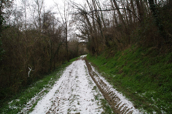
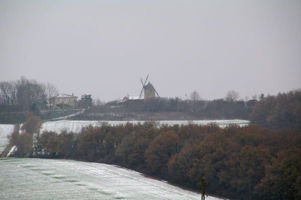
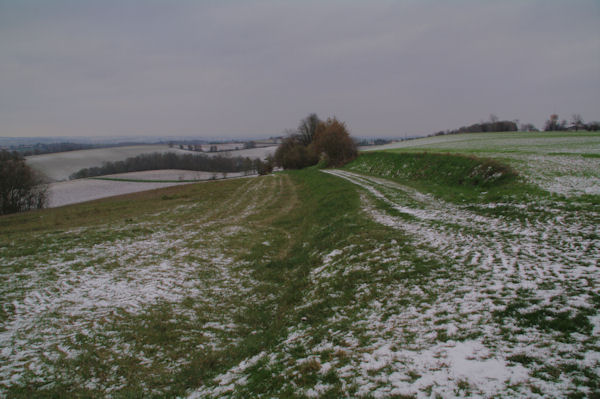
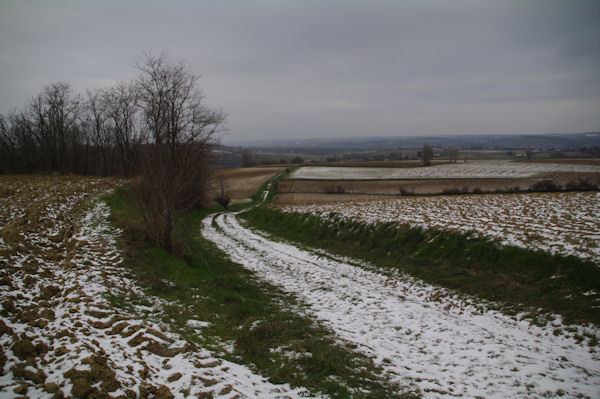
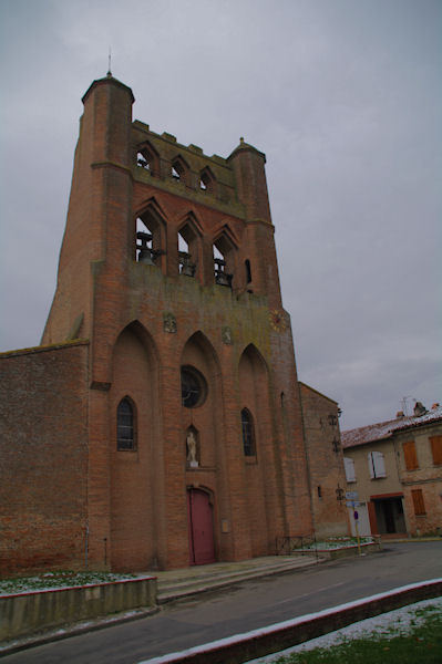 L'eglise de Montgiscard | 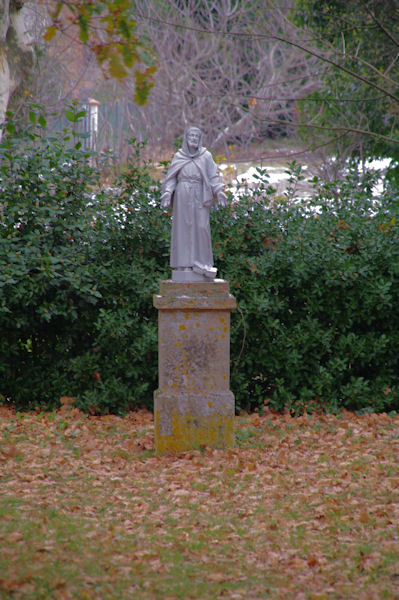 Vers Chateau Bruxelles | 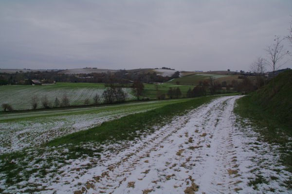 Le GR81 a la sortie de Mongiscard en quittant la D24 | 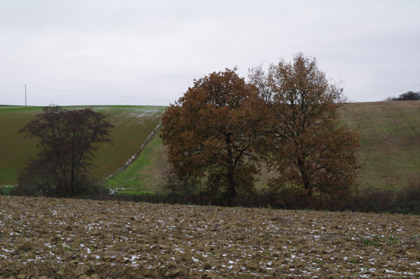 Le vallon du ruisseau de la Boytouse |
 Le GR81 en remontant ver Mont Ratier | 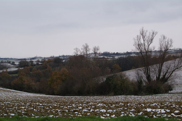 Le vallon de la Boytouse | 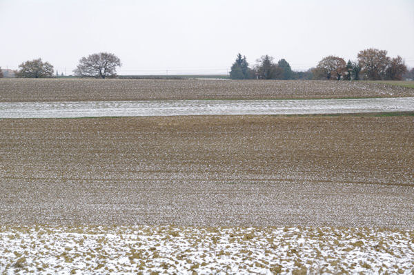 Lineaires vers Mont Ratier | 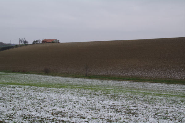 En Gautier |
 Le moulin de Montbrun Lauragais | 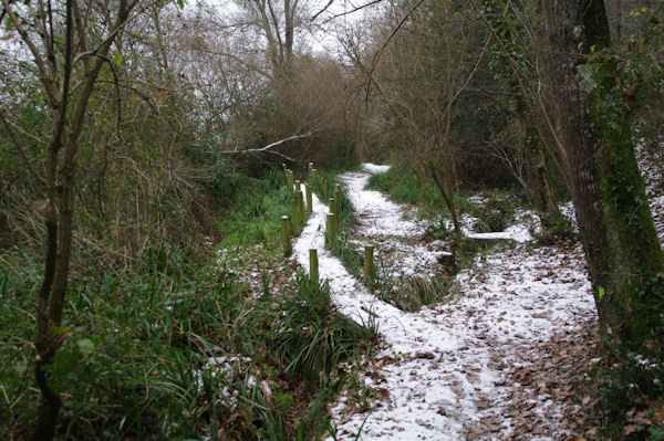 Le chemin sous La Bourdasse | 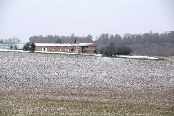 Gay | 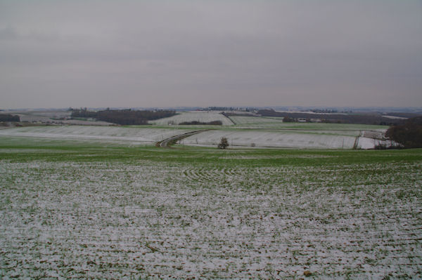 La plaine de la commune de Pouze depuis La Madelaine |
 En quittant la D24f | 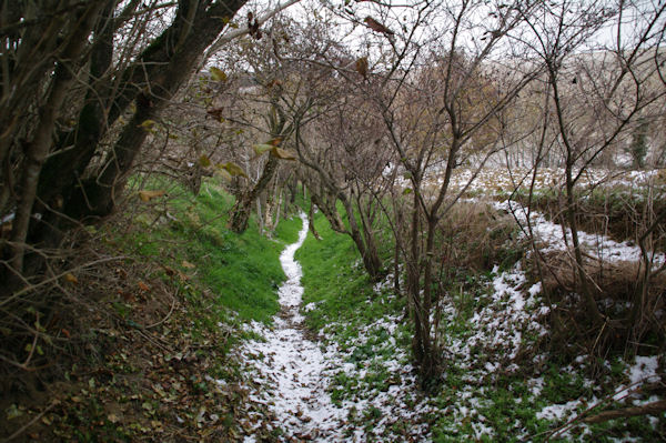 Le sentier descendant vers La Bofe | 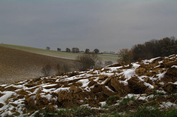 Depuis le sentier descendant vers La Bofe | 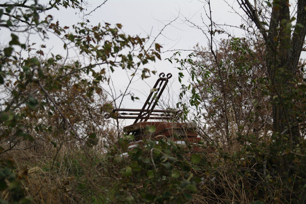 Un cimetiere abandonne au dessus de La Bofe |
 Le chemin en descendant vers Pinatel | 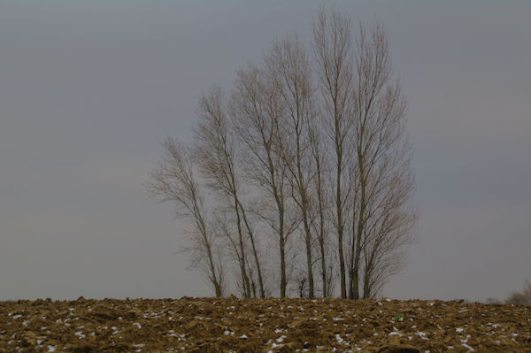 Depuis le chemin descendant vers Pinatel | 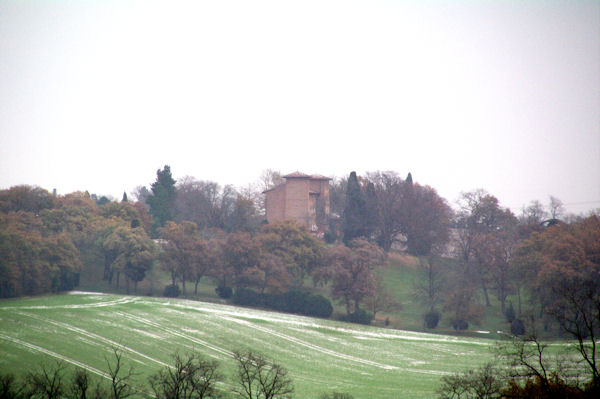 Le chateau Roqueville | 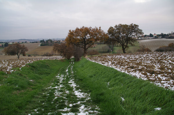 A Pinatel |
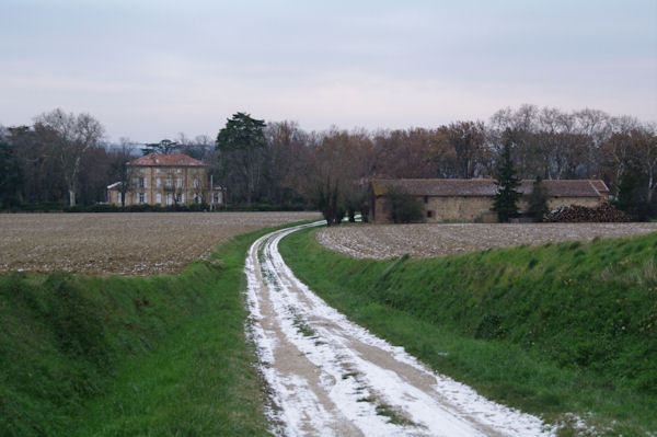 Chateau Bruxelles |
Poster un commentaire sur cette rando
Avertissement
Vous pouvez naturellement utiliser les images et photos que vous trouvez sur ce site dans la mesure où celles-ci m'appartiennent. Néanmoins cet usage doit être strictement à titre privé, leur utilisation publique ou commerciale est strictement interdite sans l'accord écrit de l'auteur.
